
Flat images make it difficult to understand terrain, building layers and the relationship between construction stages.
← Navirt — Interactive Maps & 3D Experiences overview
Web Development · Interactive 3D & VR / Spatial & Architectural Experiences
Navirt — Terrain & Construction Exploration
Interactive 3D views explain land, buildings and illustrative construction sequences.
What we built and why.
Interactive 3D views explain land, buildings and illustrative construction sequences.
Navirt combines photogrammetry-based terrain and plot navigation with interactive model controls, staged construction playback and IFC-derived object exploration.
Explore land in three dimensions
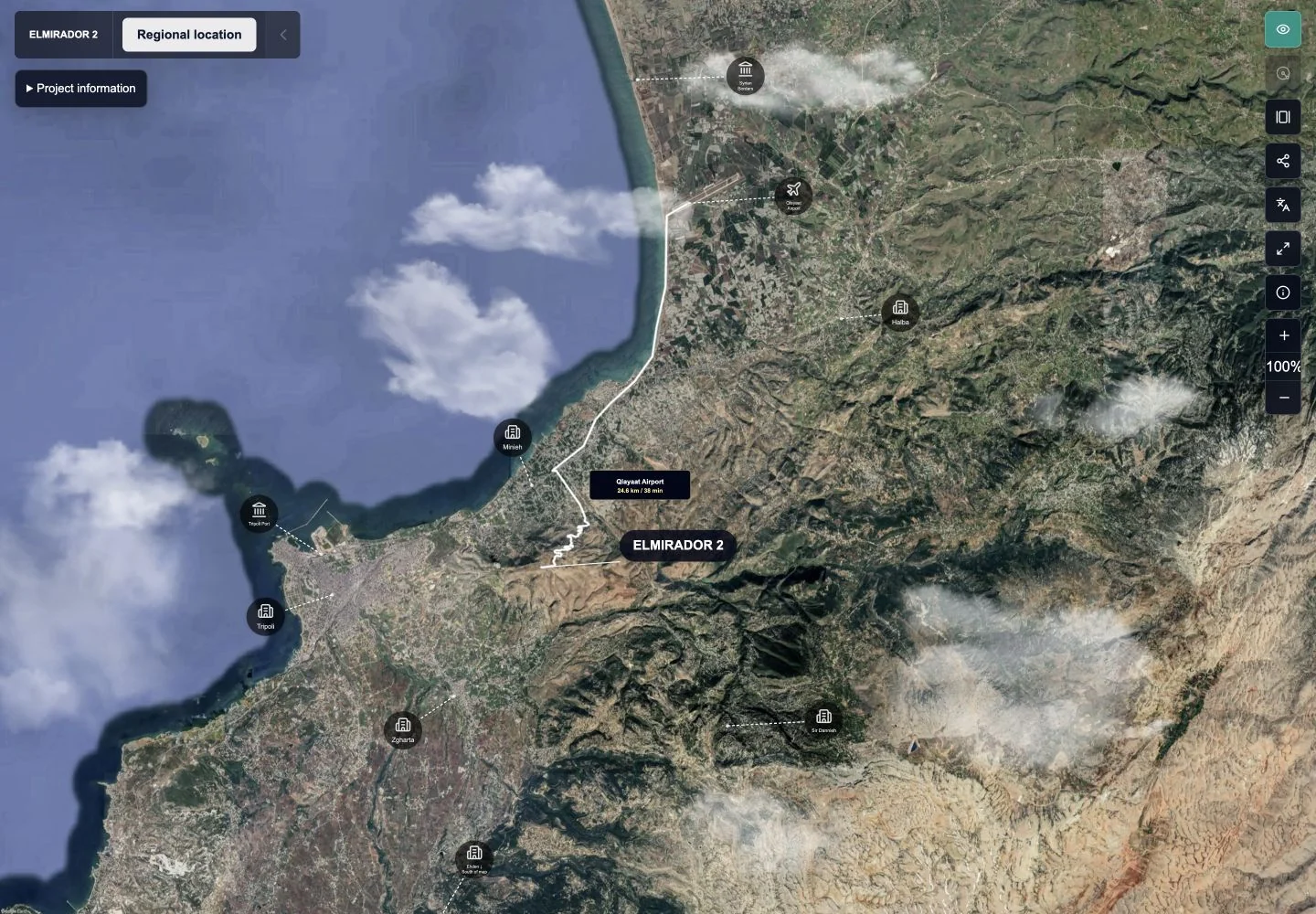
Reconstructed terrain, plot regions, markers and galleries connect land presentations to their context. Property models and floor information add another scale of exploration. These views communicate spatial ideas without claiming cadastral or survey accuracy.
See how a building comes together
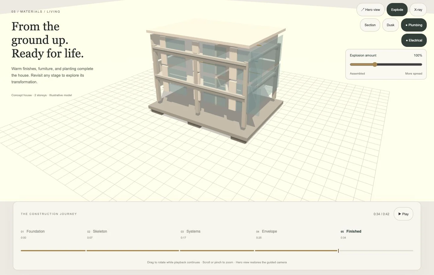
An illustrative house sequence moves from foundations to finishes. Section, X-ray and system-visibility controls reveal different aspects of the model. IFC-derived views expose disciplines and object information; their conceptual phase presentations are not engineering validation.
Inside the product
A closer look.
More from this engagement.
Connected maps, spatial visualization and architectural interaction across web and Unreal Engine.
 Navirt — Interactive Property Web PlatformProperty maps, a bilingual city guide and editable presentation flows connect spatial information to a clear path of exploration.Read the case study
Navirt — Unreal Engine Architectural InteractionReusable object selection and mesh customization for architectural scenes, with desktop and VR interaction code.Read the case study
What the work includes.
Explore the features, services and deliverables behind the project.
Deliverables
- 01Terrain and plot exploration
- 02Illustrative construction playback
- 03Section and system-visibility controls
- 04IFC-derived model and object exploration
Related capability
Explore this service path
Custom Software Development
Custom business software designed around your workflow, users, data, and operating constraints—not the limits of an off-the-shelf tool.
A new project starts with context
Need to make complex spatial information easier to understand?
Tell us how the work runs today and where it gets difficult. We’ll discuss the problem, the people involved and a practical next step.
Request a callback →